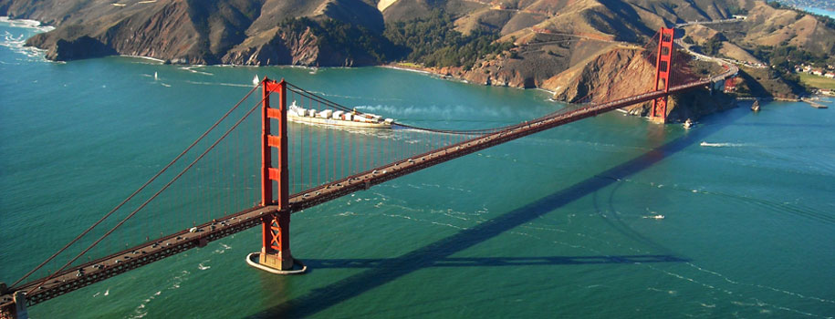

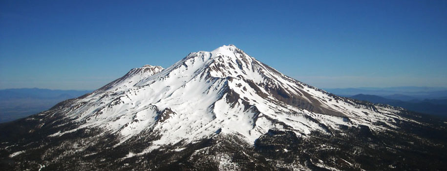


Cambridge Studios provides aerial photography services in a variety of locations throughout Central and Northern California. We cover areas including Sacramento, Lake Tahoe, San Francisco, Fresno, Redding and more. We offer up to date, high resolution and on-demand aerial photo packages that are ideal for a variety of professional applications.
Architects, designers and planning professionals can use aerial photographs to provide a wide view of a project site before construction begins and during crucial phases to track progress. For California area construction projects, aerial photos captured at required intervals simplifies keeping projects on schedule and assists in making decisions concerning safety and planning. Digital images are invaluable when communicating with tenants, outside investors, and marketing department managers. For real estate professionals, aerial photography is a highly useful tool in creating quality marketing materials that showcase high value, large lot or rural properties throughout California. Aerial photos can visually increase perceived property value by displaying relationships to growth, hospitals, schools, businesses, lakes, highways.Construction developers use aerial views to monitor construction progress and for marketing purposes. Aerial photography of a disputed site can give an attorney a good tool to convey the best argument. Golf courses, municipalities and schools can get an up to date, high resolution photo package of golf course properties, parks, schools, and public buildings. For private home & property owners, aerial photography is the ideal way to record and showcase your investment.
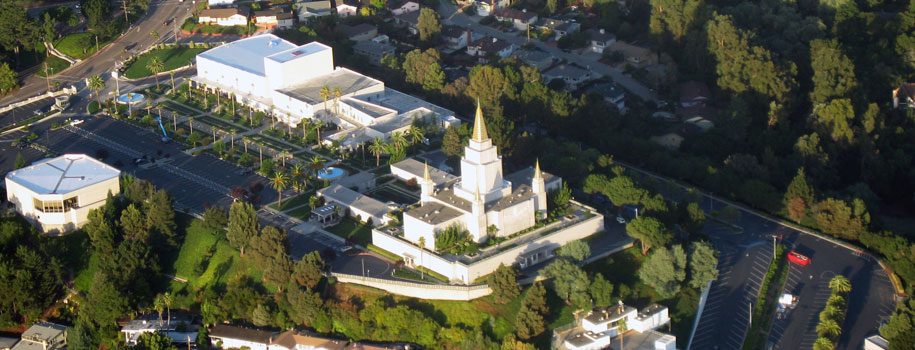
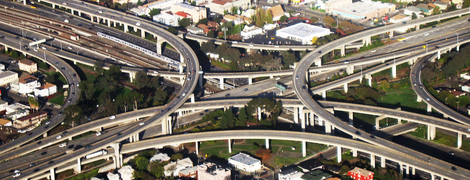
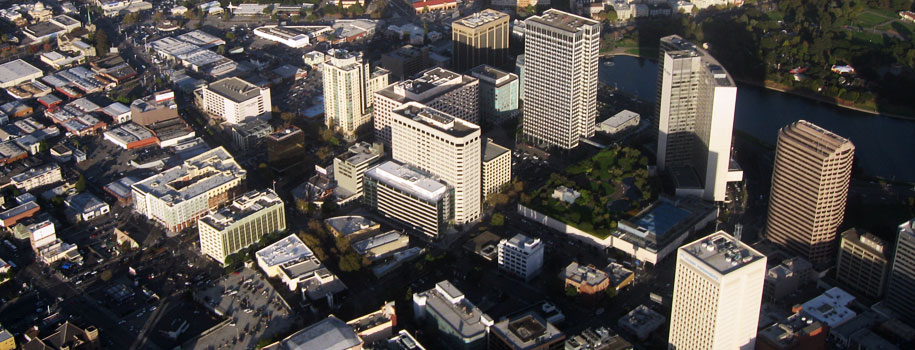
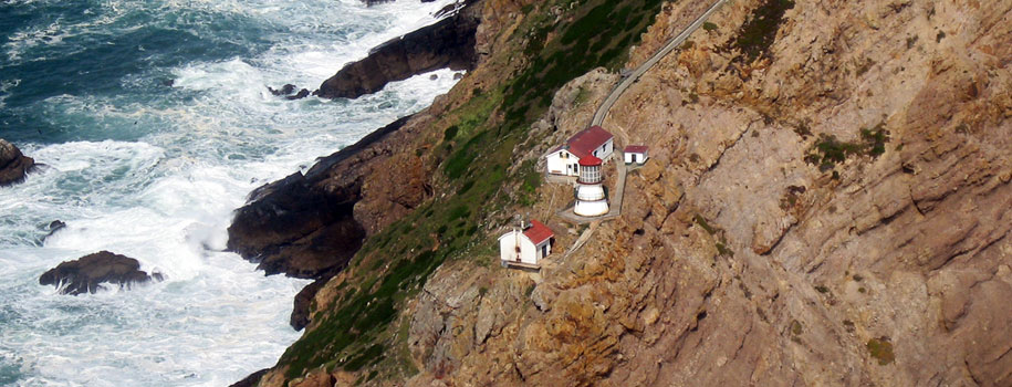
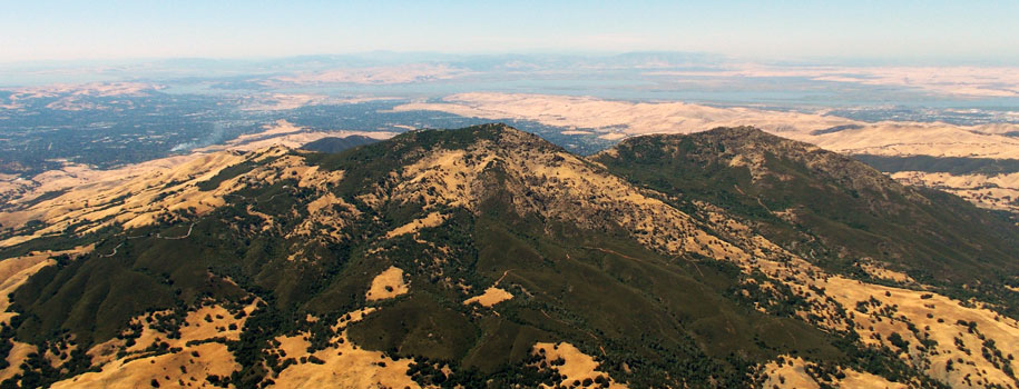
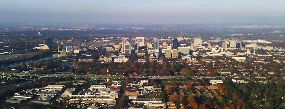
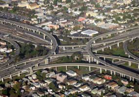
Altitude is a key factor in what the finished product looks like. Low Altitude Oblique's are shot between 1-5,000 feet and are typically used to emphasize a building, residential development and land tracts. High Altitude Oblique's, between 6-10,000 feet, capture a wider view such as a town, parks or even broad sections of land such as townships or counties. Clients often prefer high altitude oblique's, emphasizing a site's proximity to retail or community centers, entertainment venues or restaurants, industrial parks, schools and medical facilities. A higher shot can easily illustrate an industrial, commercial or municipal property's proximity to rail spurs and high-volume roadways. Both oblique methods are invaluable marketing tools, presentation aids and archiving resources.
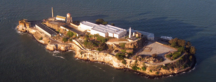
Creating quality photos at altitude depends on optimum atmospheric conditions. Some of these factors include time of day, cloud cover, humidity, shadowing and haze. These variable conditons all play a roll in when the photography platform can be over your target. Therefore it is very important to plan far enough ahead to allow for optimal conditions on the day of the photo shoot.
Give us a call with the details of your requested photo target and we will be happy to provide an estimate.
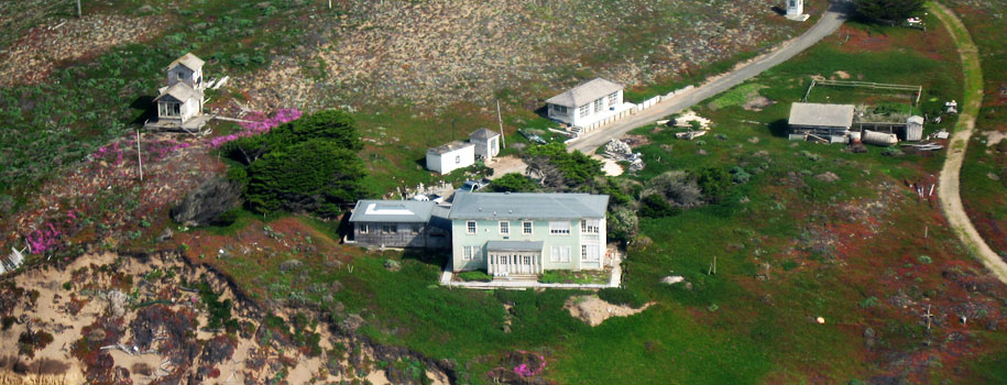
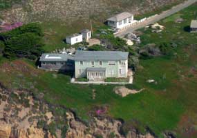 Real Estate Professionals:
Aerial Photography is a highly useful tool in creating quality marketing materials that showcase high value, large lot or rural properties.
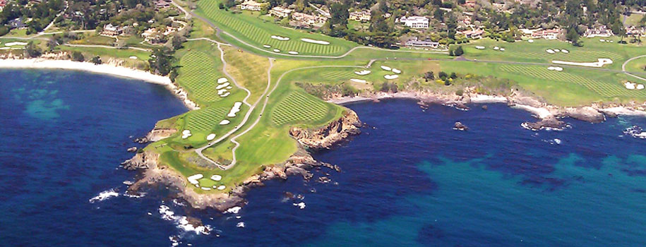
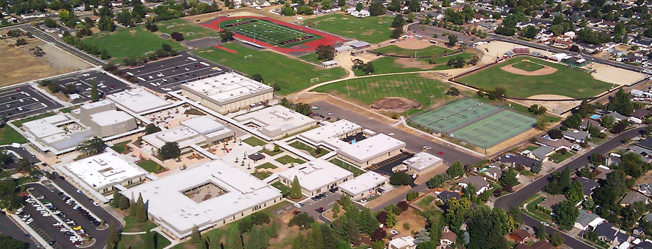
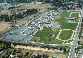 Golf Courses, Municipalities & Schools:
Get an up to date, high resolution photo package of golf courses, parks, schools, facilities and public buildings.
 Construction Developers:
 Use Aerial Views to monitor construction progress to track all phases of your project and for marketing purposes.